Inspired by your feedback,
built for your projects
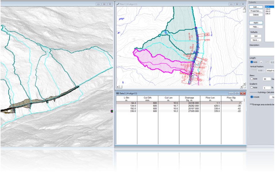
RoadEng 12 is inspired by real user feedback. We listen to your challenges and adapt our software to make design easier: now with enhanced hydrology tools, smarter intersections, and the new Path Explorer AI for networks. RoadEng is built to make your everyday work faster, simpler, and more optimized than ever.
Terrain Module:
- Grading Improvements
- Polygonize Tools
- Digital Planting
- Buffer with Benching
- Buffer to Polygon
- Buffer visualization Improvements
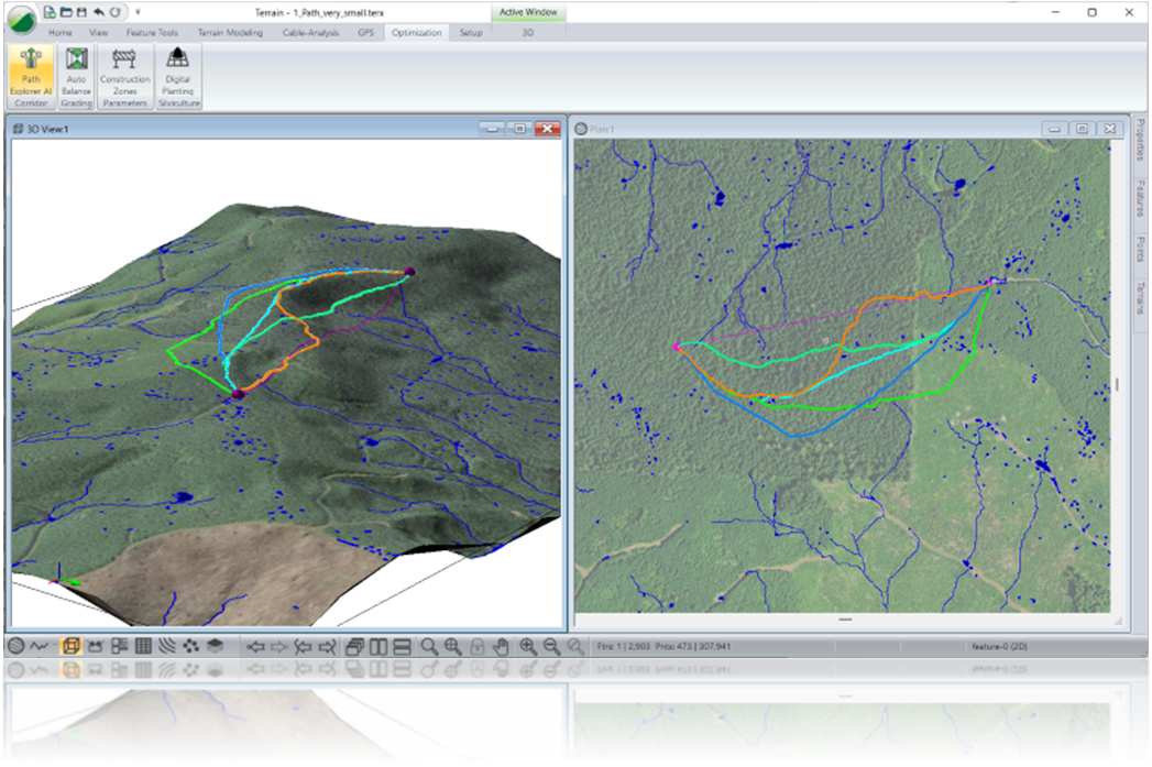
Path Explorer AI:
- Batch Processing
- Speed Improvements
- Waypoint (A-B-C)
Location Module:
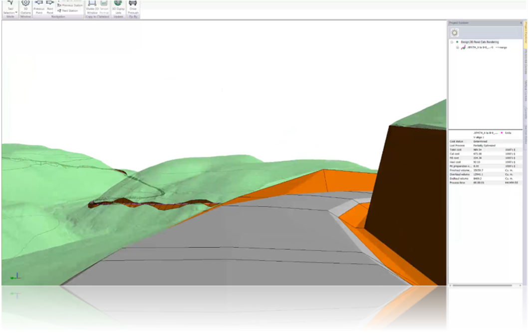
- 3D Road Cuts
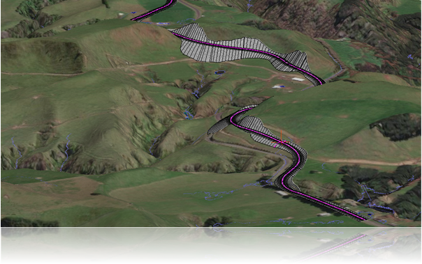
- Hydrology in Location
- Join Alignments
- Reverse Alignments
- New Templates
- 3D View in Multiplot
- Linework by Alignment
- Ability to update / change Terrain reference files
+ more!