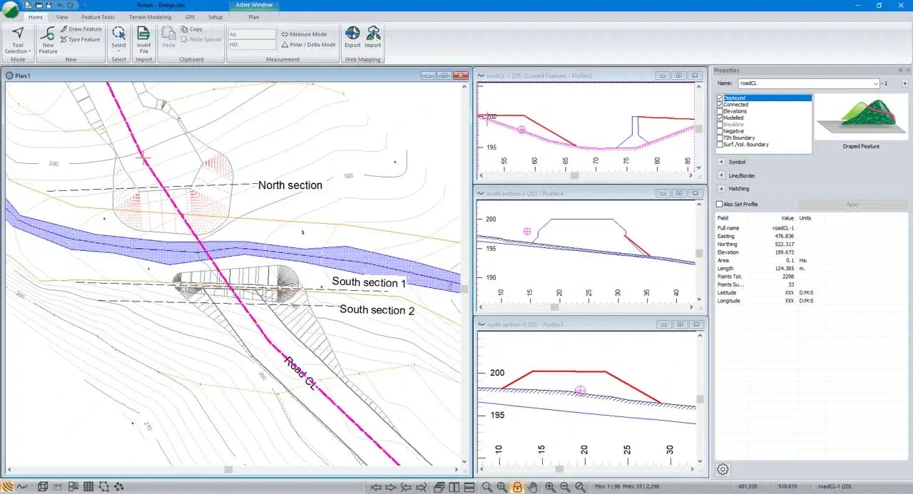
Terrain Modelling & Survey Data Management
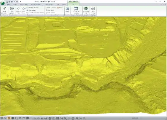
Create digital terrain models (TIN) from almost any topo data, including large point sets like UAV or LiDAR data with over 10,000,000 points. Build contours, labels, and customize your display with slope vectors and colour shading for slope, aspect, and elevation.
Digital terrain models (TIN) from virtually any topo data source
Large point sets supported — UAV and LiDAR data with over 10,000,000 points
Contours, labels, and slope vectors with customizable display options
Colour shading for slope, aspect, and elevation