Easy-to-use road & site design software, ideal for working with LiDAR & UAV data.
While RoadEng is not a drone-post processing software solution, you can take full advantage of working with the data within our software.
- Setup / save/ and re-use your data import specifications – especially useful if you are flying the same area (ie. a stockpile or mine site) over again.
- Selectively thin – depending on the size of your project, drone-collected point clouds can get really big, really fast. We highly recommend selecting thinning your data outside your area of interest.
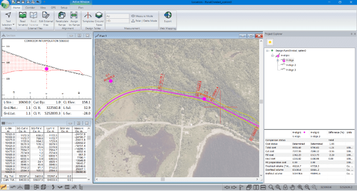
- Interactively design corridor, road, rail, and pipeline projects.
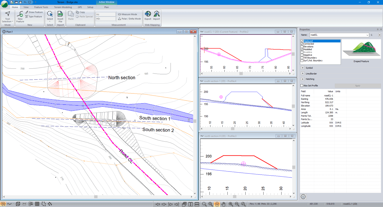
- Work with a wide variety of survey data formats: total station, drone, LiDAR and more! (Up to 10 million LiDAR pts)
- Create 3D terrain surfaces and contours.
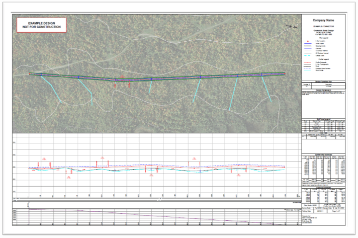
- Design culverts, bridge sites and more.
Unlike many other civil design software options, RoadEng focuses on engineering over drafting. No additional CAD platform required.