Energy

Wind Power. Hydro. Pipelines.

Our software gives you power to do more. An easier way.

RoadEng Civil Engineer allows you design sites, platforms, access roads, penstocks and pipelines. It allows you to perform a wide variety of engineering functions without a steep learning curve. Quickly create designs and calculate earthwork quantities, then easily export to machine control.

Energy engineering projects made simple:

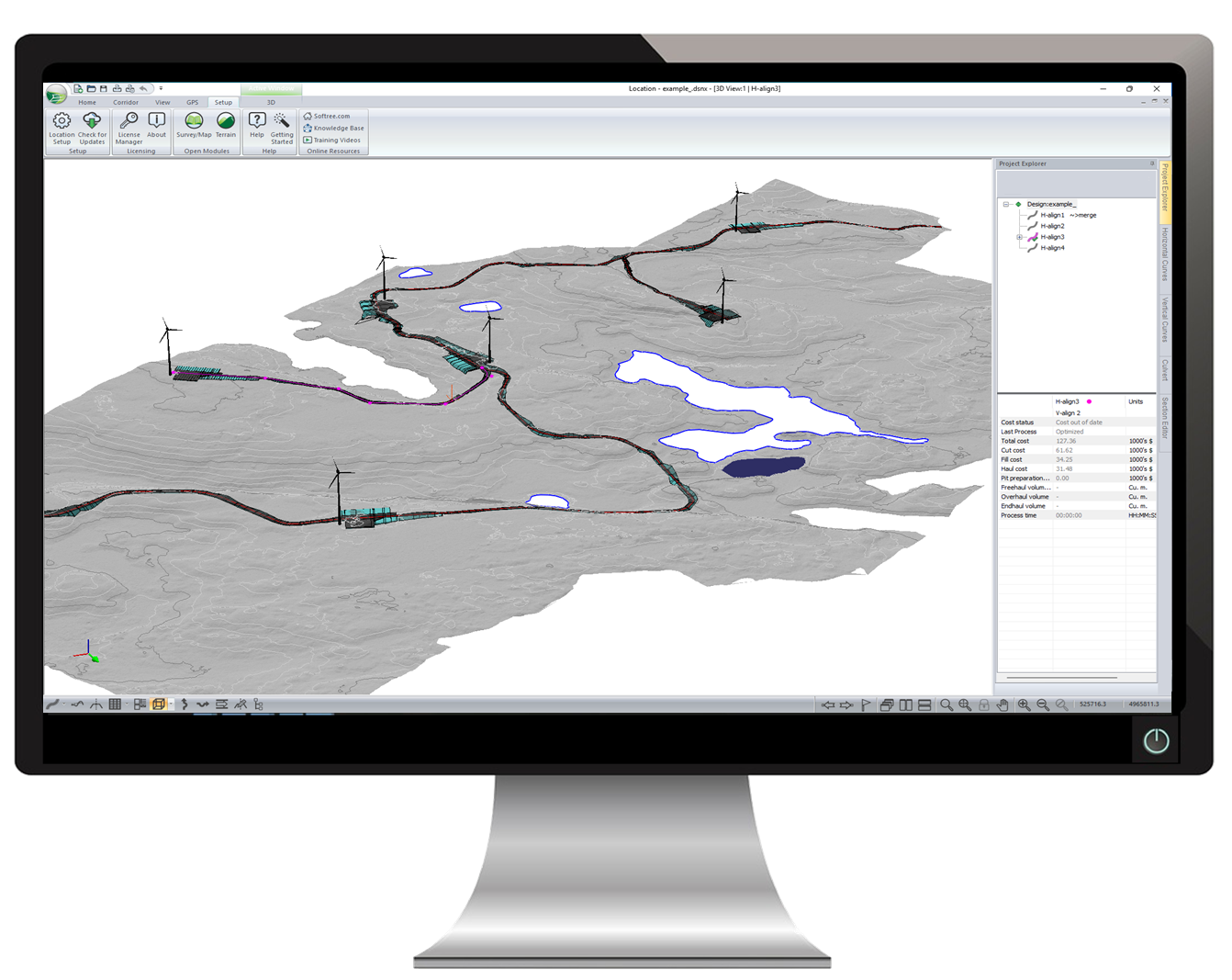
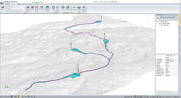
  • Wind farm access roads
  • Wind farm pad design
  • Pipeline alignment
  • Penstock design
  • Access roads
  • Site and platform design
  • Culvert replacements
  • Earthwork calculations

Interactive Access Road Design

Geometric design of access roads with constant feedback from real-time window interactivity. A template editor allows you to easily create turnouts, widen curves, and put in bridges.

Check out our webinar on wind farm engineering: RoadEng for Wind Farm Engineering

Pipeline & Penstock Design

Understand earthwork costs and evaluate multiple pipeline locations. Design in cross-section, plan, profile and 3D views. A wide variety of pipeline and penstock cross setion templates are available for use and customization.

Survey Data Management

Automatically create a Terrain model (TIN) from large point sets, including LiDAR data with over 10,000,000 points. Customize your display options in 2D or 3D. See smoothed and labeled contours, slope vectors, and color shading for slope, aspect, and elevation.

Output to a Variety of Formats

Creation of plan/profile sheets with automatic legends, title blocks, logos etc. Export coordinate and attributes to Microsoft Excel. Overlay design or survey information on Google Earth. Compatible with LandXML, DWG/DGN and more!

Site Design of All Sorts

Site design made easy with intuitive grading functions and design of polygonal shapes such as ponds, pads, pits etc.

Multi-Plot Report Builder

Easily share and showcase your design with Multi-Plot Report Builder. Print out plan, profile, and cross-section data as one document. Simplify your presentation of deliverables with single document control.

Product Options

Recommended:

RoadEng Civil Engineer

RoadEng® is designed for busy engineers looking to save time and get the job done on a wide variety of engineering projects. It is a complete road and site design software. Includes all the features: Survey Data Management, Mapping, Site Planning, Alignment / Road Design.

Complimentary:

Softree Optimal

Softree Optimal is a vertical alignment optimization program. It runs as an add-on for RoadEng or other civil software products. It generates the lowest cost vertical alignment based on the ground, the horizontal alignment, and user constraints. Ideal for pipeline or access road projects.

“McElhanney discovered “RoadEng” while looking for an easier way to deliver resource based road designs. Years ago, we tested the software with immediate success, going from watching training modules on the weekend to project delivery without delay in the following weeks.

Since that time, it has quickly become a companywide standard tool for the design of linear based projects including resource roads, construction access, pad design, pipelines, pedestrian trails, etc. We regularly us it to manage large LiDAR base plans, conceptual engineering, earthworks balance, and preparation of final drawings (plan-profile-cross sections-mass haul). We believe its greatest strengths are how easy it is to learn and fine-tune design alignments. The ability to have the plan, profile, cross section, and mass haul open at the same time provides a great visual aid for designers which leads to more effective designs. The addition of “Optimizer” provides valued engineering for large projects based on a wide range of criteria by automating the process. The Softree team is friendly and provides great support.”

-- Jason Paquette, AScT, Senior Technologist, McElhanney Consulting Services Ltd

Read More Testimonials