RoadEng Version 8 is officially here!
Expand your expectations. Multiple Alignments. Multi-Plot Report Builder. More LiDAR. More GPS. It’s RoadEng amplified.
Get up to Version 8:
CONTACT SALES OR CALL 1-866-519-6222 | EspaÑol
Expand your expectations. Multiple Alignments. Multi-Plot Report Builder.
More LiDAR. More GPS. It’s RoadEng amplified.
Expand your expectations. Multiple Alignments. Multi-Plot Report Builder. More LiDAR. More GPS. It’s RoadEng amplified.
Get up to Version 8:

Enhanced User Interface
Graphic enhancements to the entire user interface. New ribbon UI. Easier to use on tablets, easier for new users. New panels and screen layouts!

Multi-Plot Report Builder
Simplify your presentation of deliverables with single document control. Easily print out various chapter types such as title pages, cross sections and plan over profiles as one document.

Design & Organization of Multiple Roads
Design multiple roads in the context of each other, see intersection locations, get better visual feedback. Plan road networks.
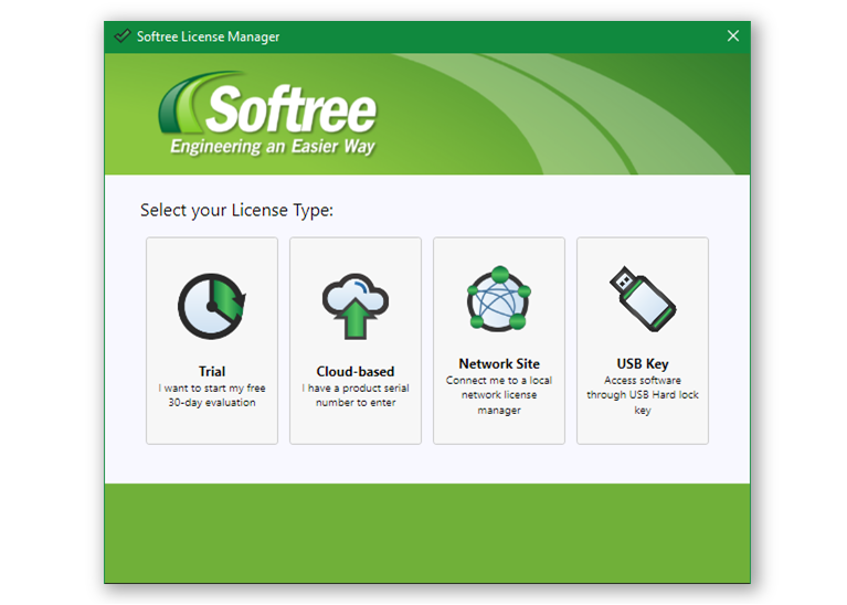
Cloud-Based Flexible Licensing
New cloud-based licensing options. Borrow licenses and take them offline. Easier network licenses. No more lost USB keys. Learn More...

GPS Integration
See where you are in Plan, Profile, and 3D windows. Great for preliminary planning and design, or during construction. See where you are and make changes on the fly.
And there’s even more...
More stable. More LiDAR. Recommended point maximum for RoadEng is now over 10 million points.
Smarter point data thinning functionality. Thin your LiDAR without losing accurate surface representation.
More control over your reporting with smarter, user-defined parameters and attributes.
Move and share files easier with new single format .terx and .dsnx file formats.
Horizontal and vertical curve reporting in the Data Window.
Integration with SiteVisit 360 and easier export to Google Earth.
Create multiple alignments and quickly compare their earthwork costs.
Field-friendlier. Touchscreen users can now use the standard tablet gestures within RoadEng.
Check out the Preview Webinar