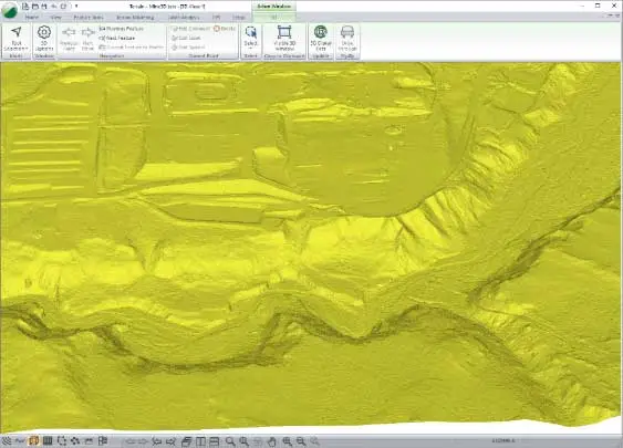
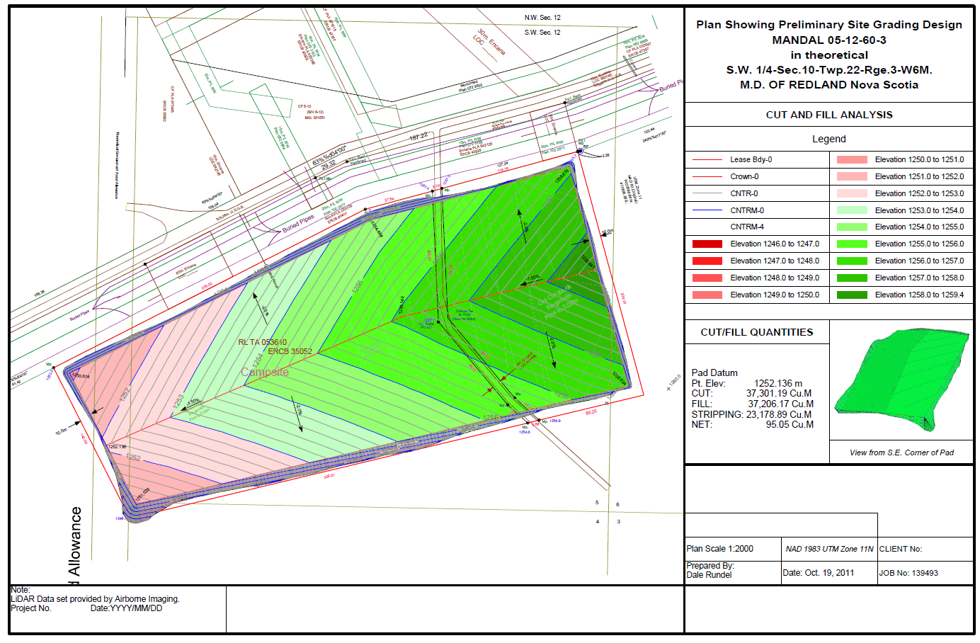
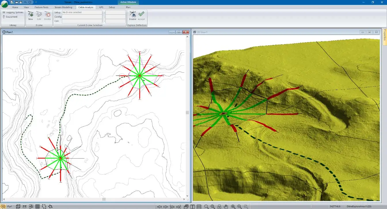
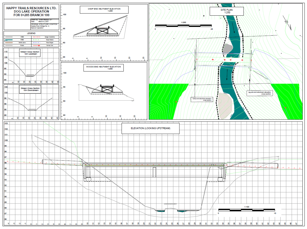
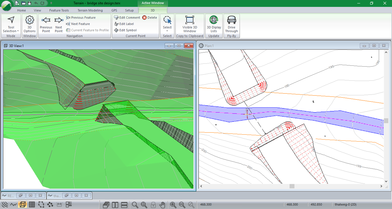
3D Mapping for Engineers & Surveyors
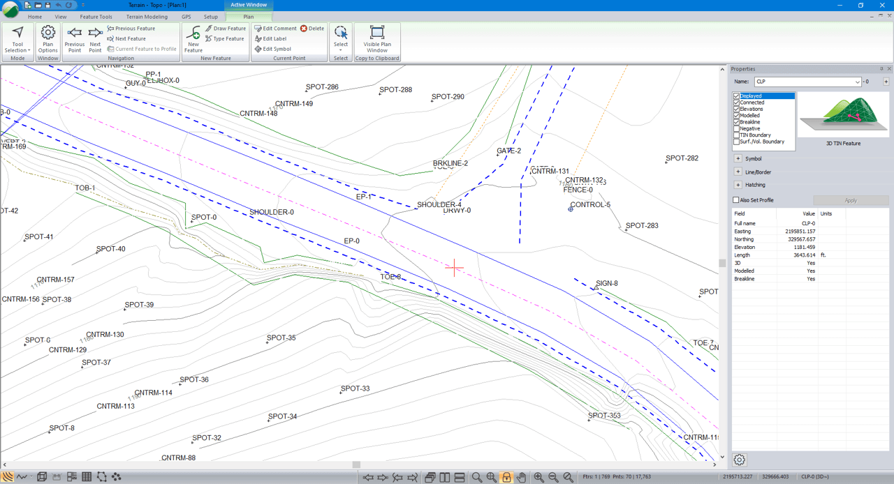
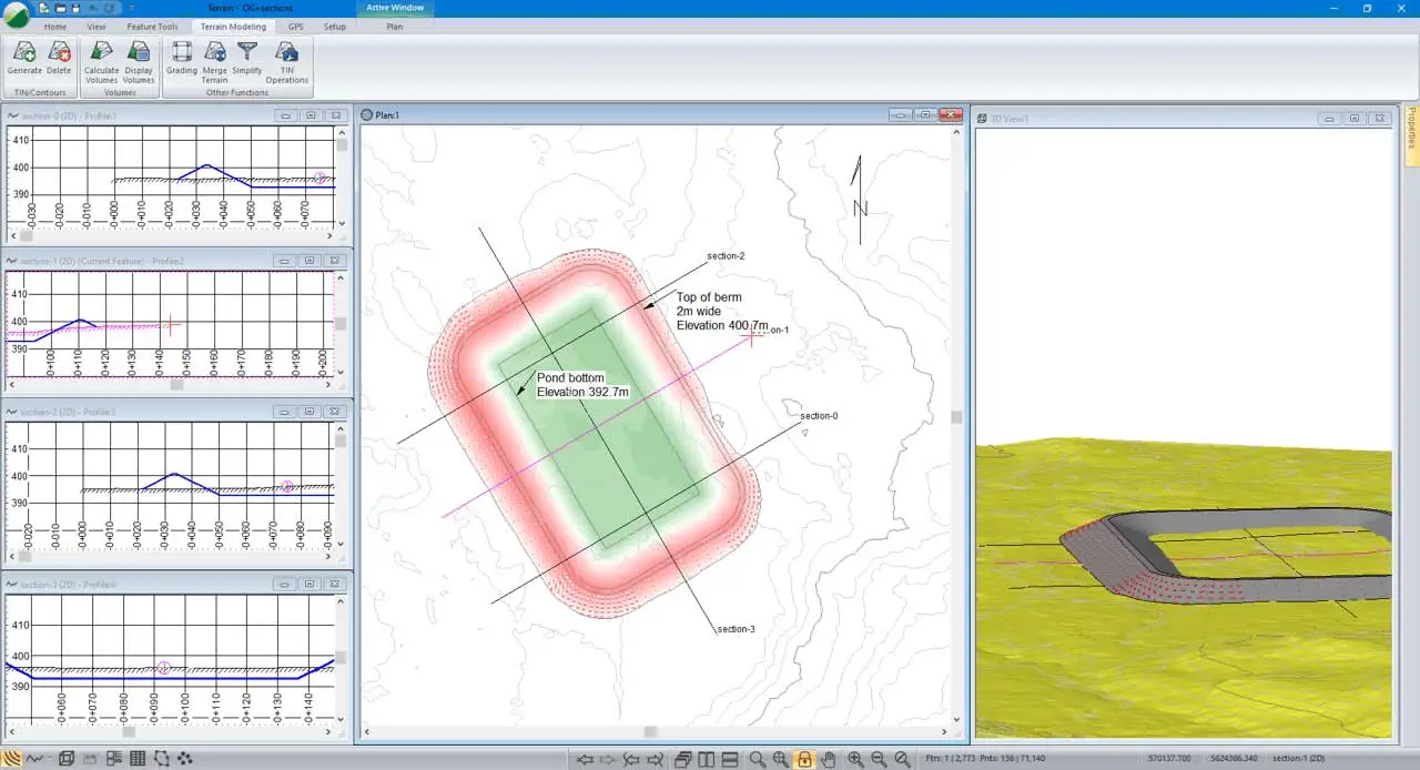
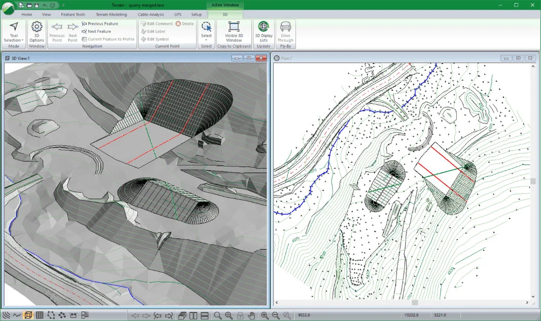
Ideal for 3D site design, handling survey data, stockpile volume calculations, mine surveying, quantity takeoffs, pad and pond design, geological mapping, surface contouring and visualization, and landfill site design.
Includes functions for: surveying, coordinate geometry, image manipulation, digital terrain modeling, contouring, volume and earthwork calculations, design, grading, visualization and report generation.